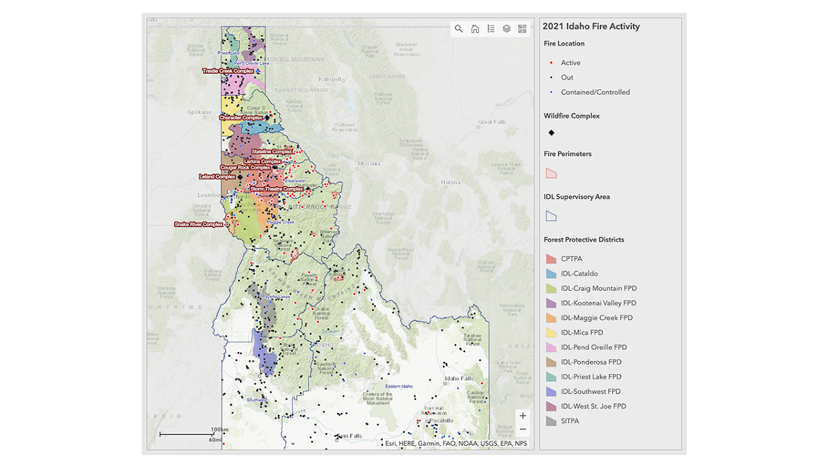
Where’s the fire? Idaho Department of Lands announces new Idaho Fire Map

BOISE, Idaho (KIFI) – There is a new way to find Idaho fire names and locations online and on mobile with the new Idaho Fire Map.
The map was built by the Idaho Department of Land’s award-winning GIS team. The team worked in conjunction with the Wildland Fire Interagency Geospatial Services Group. The map covers all of Idaho wildland fires, relying on data from the Integrated Reporting of Wildland-Fire Information (IRWIN) system.
Other fire information websites, such as InciWeb, may only report on incidents that threaten structures or cover large acreages. The Idaho Fire Map displays fire information about all reported wildfires in Idaho.
The latest fire information can be found on the IDL Fire News Feed. There are Stage II fire restrictions in place.
