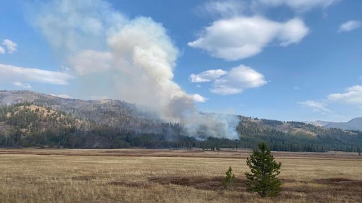
Boundary Fire emergency area, road and trail closure reduced

SALMON, Idaho (KIFI) - The Salmon‐Challis National Forest has reduced the Boundary Fire Emergency Area, Road, and Trail Closure, new Order Number: 04‐13‐21‐018.
Description of Closed Area, Roads, and Trails (#04-13-21-118):
Closed Area: All NFS lands in the Middle Fork District of the Salmon-Challis National Forest in the area bounded at the junction of the Frank Church River of No Return Wilderness Area (FCNOR Wilderness Area) boundary and National Forest System Road (NFSR) #550 Artillery Dome Road, then following the FCNOR Wilderness Area boundary south to the junction of National Forest System Trail (NFST) #4231 West Fork of Elk Creek Trail, then following NFST #4231 West Fork of Elk Creek Trail to its junction with the FCNOR Wilderness Boundary, then following the FCNOR Wilderness Boundary east to the junction of National Forest System Trail (NFST) #4028 Mountain Meadows Trail and NFSR #583 Bear Valley Mountain Lookout Road, then following a straight line southeast to NFSR #568 Dagger Falls Road, then following east and north along the FCNOR Wilderness Area boundary to its junction with NFSR #172 Beaver-Loon Road, then following the west side of NFSR #172 Beaver Loon Road to its junction with NFST #4011 Blue Lake Trail, the following NFST #4011 Blue Lake Trail and NFST #4004 Little Loon Trail to its junction with the Middle Fork of the Salmon River, then following the Middle Fork of the Salmon River to its junction with Elkhorn Creek, then following west on Elkhorn Creek to the point of origin at the junction of the FCNOR Wilderness Area boundary and NFSR#550 Artillery Dome Road.
Closed Roads and Trails: All NFS roads (NFSR) and trails (NFST) within the Closed Area
National Forest System Road #172 Beaver Loon Road is open.
The purpose of this order is to protect public health and safety from the effects of the Boundary Fire. Public and firefighter safety is the number one priority for the Boundary Fire.
This order will be in effect until rescinded.


