Boundary Fire emergency area, road and trail closure terminated
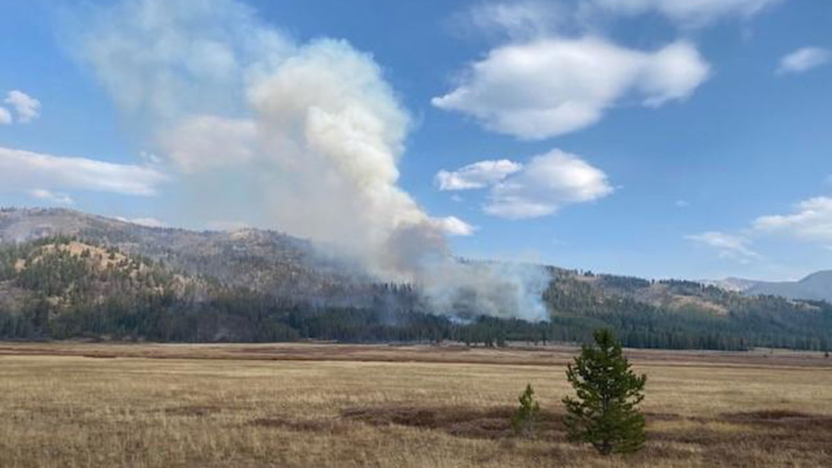
SALMON, Idaho (KIFI) - The Salmon‐Challis National Forest has terminated the Boundary Fire Emergency Area, Road, and Trail Closure, Order Number: 04‐13‐21‐118.
The following is now open:
Closed Area: All NFS lands in the Middle Fork District of the Salmon-Challis National Forest in the area bounded at the junction of the Frank Church River of No Return Wilderness Area (FCNOR Wilderness Area) boundary and National Forest System Road (NFSR) #550 Artillery Dome Road, then following the FCNOR Wilderness Area boundary south to the junction of National Forest System Trail (NFST) #4233 North Fork Sulphur Creek Trail, then following south on NFST #4233 North Fork Sulphur Creek Trail, west on NFST #4046 Sulphur Creek Trail, south and west on NFST #4027 Camptender Trail, and south on NFST #4028 Mountain Meadows Trail to its junction with NFSR #583 Bear Valley Mountain Lookout Road, then following a straight line southeast to NFSR #568 Dagger Falls Road, then following east and south along the FCNOR Wilderness Area boundary to its junction with NFST #4021 South Fork Fall Creek Trail, the following north on South Fork Falls Creek Trail, northeast on NFST #4020 Fall Creek Trail to its junction with NFSR #010 Seafoam Creek Road, then following north and east on NFSR #010 Seafoam Creek Road, south on NFSR #008 Beaver Creek Road, east on #012 Sheep Mountain Road to its junction with NFST #4012 Duffield Creek trail, then following north and east on #4012 Duffield Creek Trail to its junction with FCNOR Wilderness Area boundary, then following the FCNOR Wilderness Area boundary to its junction with NFST #4011 Blue Lake Trail, then following NFST #4011 Blue Lake Trail and NFST #4004 Little Loon Trail to its junction with the Middle Fork of the Salmon River, then following the Middle Fork of the Salmon River to its junction with Elkhorn Creek, then following west on Elkhorn Creek to the point of origin at the junction of the FCNOR Wilderness Area boundary and NFSR #550 Artillery Dome Road.
Closed Roads and Trails: All NFS roads (NFSR) and trails (NFST) within the Closed Area
There may be hazards associated with traveling adjacent to and entering into burned areas. Forest visitors must be prepared to stay longer than expected due to changing circumstances. Weather conditions such as precipitation and wind can rapidly change conditions on the ground. Wind can blow trees across roadways and trails and precipitation can wash debris across roadways and trails blocking access. Forest visitors must be prepared to stay longer than expected due to changing circumstances. Preparation for the unexpected is the best plan a Forest visitor can have. Items to consider include:
- Adequate food, water, clothing, sleeping bags, and other provisions needed in case of inclement weather and extended stay is necessary in the area of travel.
- Chainsaw and fuel if traveling outside of a designated wilderness, handsaw, and shovel, in case trees or other debris blocks road or trail access.
- Forest visitors should inform someone they know about where they are going and when they plan to be back in case an emergency situation arises.
- Communications that will work in the area they plan to travel (cell phone, satellite phone, or satellite emergency notification device).


