Moose Fire nears 50% containment
SALMON, Idaho (KIFI) - The human caused Moose Fire burning west and south of North Fork has burned 130,079 acres and is 47% contained.
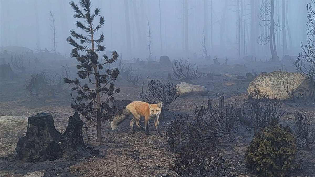
Wednesday's weather lifted the fog and provided crews an opportunity to further secure the fire’s edge in key locations. Firefighters took advantage of the lift in fog and smoke to identify the location of spot fires along the southeast portion of the fire using drones. Additionally, Idaho Power was able to conduct their assessments of the powerline, and power was restored to the mines and other structures yesterday afternoon.
Thursday brings a chance of wetting rain over the entire fire area, along with an increased chance of thunderstorms and gusty, erratic winds. As a result of the suppression actions of the firefighters and cooperation from the weather; fire activity is expected to be moderated.
Firefighters working on containment lines will continue to face hazards including falling rocks and weakened trees. Road clearing equipment remains staged along the Salmon River Road to quickly respond in case of rock fall or other debris that may roll down from the steep, recently burned slopes above it.
Scouting trips in Jesse Creek and Turner Gulch within the Salmon Municipal Watershed region will continue to assess safe areas for crews to slow progression within the watershed. Along Ridge Road and the Diamond Line, hand crews and heavy equipment operators work to remove log decks and maintain the suppression line. Firefighters reduce roadside fuels through chipping and dozer line improvement along Williams Creek Road as part of contingency plans. Structure protection, patrolling, and mop-up operations will resume in the Leesburg area and along the powerline where crews can safely work. Crews are finishing mopping and securing along the 300 Road to the west of Leesburg.
EVACUATIONS
Zones 1, 11, 12, and 13, the Beartrack Mine, and Leesburg are moved to "SET" status in the CodeRED system as determined by the Lemhi County Sheriff’s Office. The Incident Management Team will continue to work closely with the Sheriff’s Office to consider additional changes to the evacuation status over the next few days, depending on weather. Additional details are at: https://bit.ly/LemhiCountyEvacs
CLOSURES AND RESTRICTIONS
A Salmon-Challis National Forest closure order was updated on September 9. The closure includes the area north of Williams Creek Road (FR-021), Deep Creek Road (FR-101), and certain roads, trails, and a defined geographic area around the fire. Moose Fire Emergency Area, Road, and Trail Closure, Order #04-13-22-509. This closure applies to hunting access, firewood cutting and gathering, fishing, hiking, camping, and other recreational activities
- Public Lands north of the town of Salmon, south of Wallace Creek, and west of the Salmon River administered by the Salmon Field Office, Bureau of Land Management (BLM) are temporarily Closed.
- Stage 1 Fire restrictions are in effect on the Salmon-Challis National Forest, BLM, and State of Idaho lands in Custer and Lemhi Counties, excluding wilderness areas.
- For more information about area hunting units, please visit the Idaho Fish and Game fire map: https://fishandgame.idaho.gov/ifwis/maps/realtime/fire/ or the Idaho Fish and Game Salmon Region Facebook page https://www.facebook.com/IDFG.salmon.


