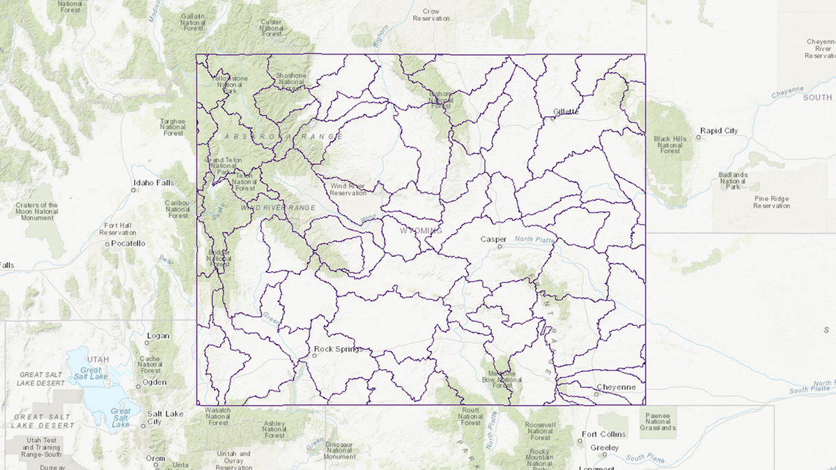
Groundwater Atlas of Wyoming updated

JACKSON, Wyo. (KIFI) - The Wyoming State Geological Survey (WSGS) updated its online Groundwater Atlas of Wyoming that now includes datasets involving oil and gas field water production and injection.
For the new geospatial datasets, the WSGS obtained monthly production and injection data from the Wyoming Oil and Gas Conservation Commission (1978–2020) for each well and compiled it into yearly and lifetime water production and injection totals for each oil and gas field as defined by the Oil and Gas Map of Wyoming. These datasets can be browsed on the atlas or downloaded via the attribute table.
The recent changes to the groundwater atlas also include updating the Wyoming State Engineer’s well and spring layers.
The Groundwater Atlas of Wyoming has been online since 2017 and continues to be a useful resource for current and potential landowners interested in existing wells or water quality at a particular location, to consultants, industry, and government employees doing regional and statewide research.
“The map contains a variety of information and reference options and is useful to a wide audience, whether for browsing the information or querying and downloading data,”WSGS geohydrologist Jim Stafford said.
The interactive atlas is updated periodically with new data, including groundwater wells, springs, groundwater quality, recharge estimates, saline water analysis and produced water. It is free to use.


