Last of the snow for the week
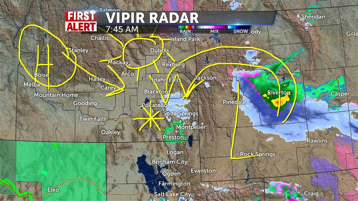
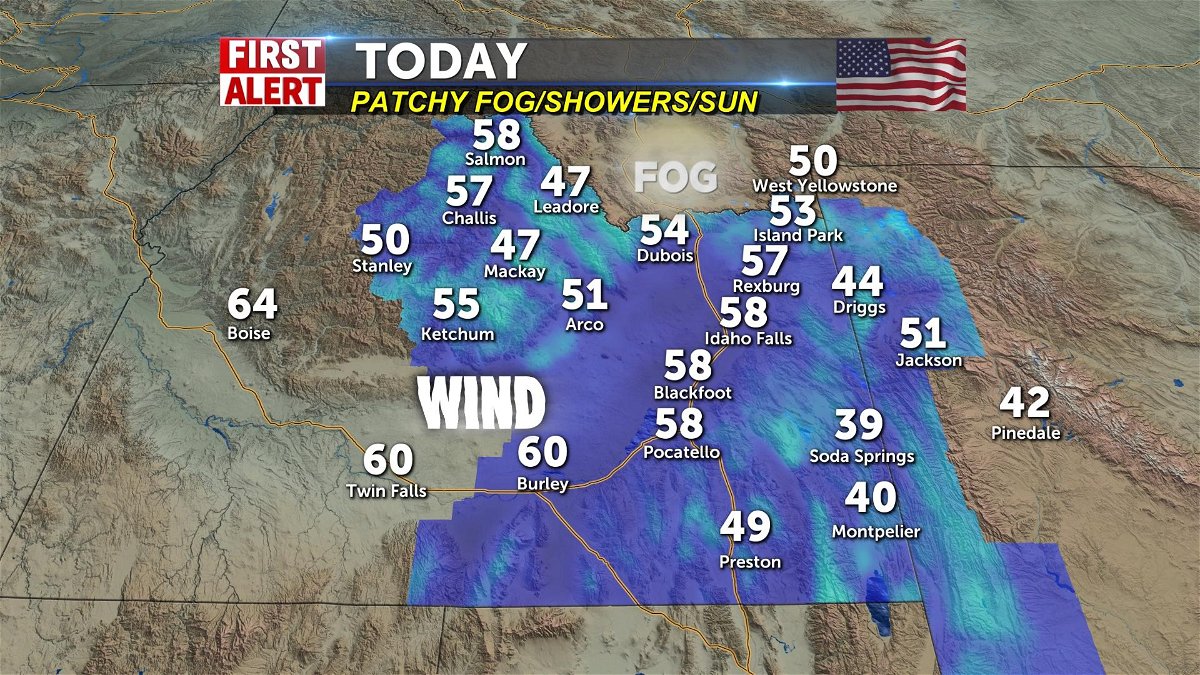
The low that created some loud thunderstorms yesterday is now in Wyoming and its backlash creates leftover snows for western Wyoming and eastern Idaho today. Winds begin to change and push 10-20mph. There's a slight thunder risk especially on the state divide and there will be runoff flowing with snowmelt. But better than the thunderstorms that woke everyone up yesterday afternoon. Feels like spring huh? We'll have some patchy fog making way for brighter skies and warming up from the mid 30's this morning to 50's for everyone this afternoon. Then a long stretch of warmer and brighter days to put you in a better mood.


