Tracking more nice conditions and gusty winds then mountain snow by the weekend

Warm, Windy, Then a Serious Cooldown
We’re warm today with a high around 78°, but it’s already breezy with winds around 18 mph. If you’re heading out to the Eastern Idaho State Fair, it’s still a pretty good day to enjoy the rides, food and livestock — just be ready for some wind.
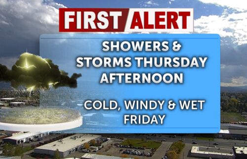
The strongest winds arrive Thursday and Friday. Winds will increase through the day, with the worst gusts during the afternoon and early evening as daytime heating peaks. Gusts could reach 30 mph or higher, so Thursday and Friday are the days to watch if you’re hauling a trailer, driving a high-profile vehicle, or setting up tents, canopies or outdoor displays at the fair. The National Weather Service has issued a Red Flag Warning from 12noon to 8pm Thursday due to low humidity, dry conditions, and gusty winds. Fires will spread quickly in these conditions for the Snake River Plain and upper highlands and areas east of I-15 into BLM lands.
Temperatures remain warm, with highs near 83°, but that wind will make it feel considerably different at times.
Then we make a big turn toward fall.
A slight shower chance develops Saturday morning, followed by a much cooler afternoon with highs dropping into the lower 60s. The real chill arrives Saturday night into Sunday morning, with lows falling into the upper 30s for many valley locations.
And if you’re heading toward Jackson and the mountains, bundle up. Some of the higher elevations could drop to around freezing or below overnight, especially in the colder mountain valleys and locations at elevation.
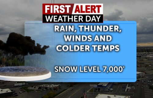
There is also the possibility of snow in the mountains above roughly 7,000 to 8,000 feet across parts of Idaho, Wyoming and Montana this weekend. So while it may still feel like summer around the fairgrounds, you could be looking at a completely different season just a few thousand feet higher.
Wind timing: Friday’s afternoon winds are the main concern, but we aren’t completely done with the breeze afterward. Winds may increase again early Sunday morning, just as those temperatures are bottoming out.
📅 The Weekend Setup
Today: 78°, breezy — good fair weather, but hold onto your hat.
Thursday: Warmer and increasingly windy, with afternoon gusts near 30+ mph.
Friday: Around 83°, strongest winds during the afternoon/evening, gusts 30+ mph possible.
Saturday: Shower chance early, then much cooler — highs in the lower 60s.
Saturday night: Chilly, with upper 30s in many valleys and freezing temperatures possible in the mountains and around Jackson-area higher elevations.
Sunday: Cool and breezy early, with another round of mountain weather and possible snow at the highest elevations.
So enjoy the warmth and the fair while you’ve got it. We’re going from fair-food-and-T-shirt weather to jacket weather in a hurry — and the mountains may get their first real taste of fall this weekend.
Jeff Roper, First Alert Weather 208-534-9957 @jeffroperinthemorning FB @jeffroper IG @jeffropertv TT