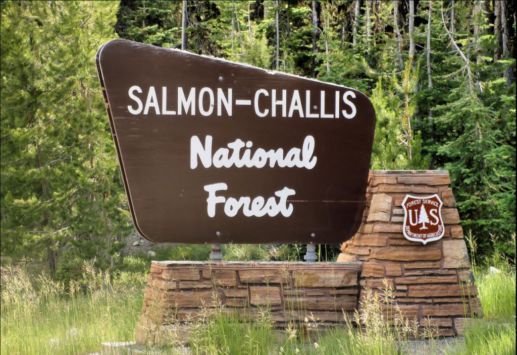
Salmon-Challis National Forest has 2 new fires

SALMON, Idaho (KIFI) - The Salmon-Challis National Forest has had two new fires in the last week. To date, there have been 51 wildfires reported on the Salmon-Challis National Forest. 45 of those reported fires are out.
Cabin (October 16): The one acre fire is located approximately 18 miles southeast of Mackay on the Lost River Ranger District. The fire is burning in spruce and fir. 10 firefighters and helicopters are on scene working to suppress the fire. These resources are being shared with the Cedarville Fire as the two fires are approximately ½ miles apart. The fire is likely human caused.
Cedarville Fire (October 16): The one acre fire is located approximately 18 miles southeast of Mackay on the Lost River Ranger District. The fire is burning in spruce and fir. 10 firefighters and helicopters are on scene working to suppress the fire. These resources are being shared with the Cabin Fire as the two fires are approximately ½ miles apart. The fire is likely human caused.
Patterson Fire (September 29): The lightning fire is estimated at 100 acres. The fire is located approximately 13 miles southeast of May on the Challis-Yankee Fork Ranger District. The fire is burning in subalpine and Douglas fir. The fire is under a combination of a point protection and confine and contain strategies. This strategy focuses operations on protecting valued resources such as structures, natural resources, cultural resources, and other property. Risk to responders and public safety is the number priority for the Patterson Fire.
Horse Fire (September 8): The 397 acre fire was located approximately 5½ miles northwest of Corn Creek on the North Fork Ranger District in the Frank Church River of No Return Wilderness. The fire is burning in lodgepole, fir, and snags is out.
Owl Fire (September 8): The 747 acre fire was located approximately 20 miles west of North Fork on the North Fork Ranger District. The fire, burning in grass, brush, Douglas fir, and snags is out.
Norton (August 1): The lightning fire is located approximately seven miles northwest of Lower Loon Creek on the Middle Fork Ranger District in the Frank Church River of No Return Wilderness. The 9,069 acre fire burning in subalpine fir, Douglas fir, sagebrush, and grass is located in steep rugged terrain. Fire activity is minimal, the fire is smoldering. The fire is under a point protection strategy, fire managers are utilizing air resources to determine action points and assess values in the vicinity. Fire managers continue to assess the fire using aircraft. The fire can be found on InciWeb at https://inciweb.nwcg.gov/incident/8308/.
Moose (July 17): Friday saw a slight increase in a one acre area high within the watershed in Jesse Creek where fire climbed into the trees and torched out a ½ to 1 acre area. Saturday, Sunday, and today, fire activity was minimal. The fire continues to creep and smolder on the ground, consuming concentrations of ground fuels. This fire activity is reducing the potential for extreme fire behavior and moderate high to severe burn intensity in the coming years. Fire managers are currently balancing the risk to responders, in the steep, rugged, thickly wooded forest, which is difficult to access with threats to the Municipal Watershed. Crews are engaging the fire where it is safe to do so and are falling trees along the Ridge and Stormy Peak roads where there is potential for trees to fall across the roadway and block access. There has been an inversion over the fire area the last several days. This inversion holds the smoke in the drainages, not allowing it to lift and drift out of the area. An infrared flight has been ordered and new maps will be available after the flight later this week. Ongoing information about the fire can be found on InciWeb at https://inciweb.nwcg.gov/incident/8249/.
Woodtick (July 14): The lightning fire started as two separate fires approximately six miles west, northwest of Meyers Cove on the Middle Fork Ranger District in the Frank Church River of No Return Wilderness. The 9,598 acre fire burning in timber, grass, and brush is located in steep rugged terrain. Fire activity is minimal, the fire is smoldering. The fire is under a point protection and confine and contain strategies with risk to responders and public safety being the top priority. The fire can be found on InciWeb at https://inciweb.nwcg.gov/incident/8253/.
Wolf Fang Fire (July 13): The 2,082 acre lightning fire was located approximately four miles northeast of the confluence of Big Creek and the Middle Fork of the Salmon River in the Frank Church River of No Return Wilderness on the North Fork Ranger District. The fire burning in spruce and fir is located in steep, rugged terrain is out.
The forest is asking visitors to be aware of the HIGH fire danger for the Salmon-Challis National Forest. One Less Spark Means One Less Wildfire. Never leave a campfire unattended. Always add water, stir it, and make sure all embers are out. If it’s too hot to touch, it’s too hot to leave.
Nationally, there are 13 uncontained large fires being managed under a full suppression strategy and 66 large fires managed under a strategy other than full suppression.
