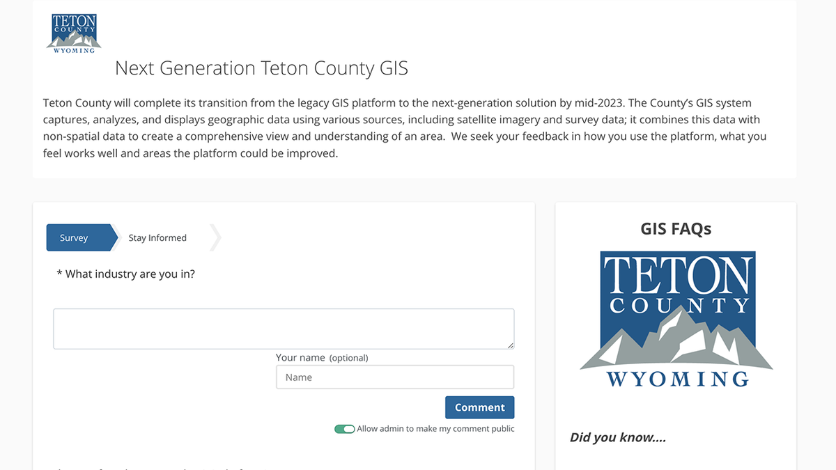
Teton County seeks feedback as it transitions to new GIS Platform

JACKSON, Wyo. (KIFI) – Teton County is preparing to transition to a new Geographic Information System (GIS) platform in 2023 and wants to hear from the public about how individuals and businesses utilize the service.
Teton County recognizes that GIS is used by a variety of industries and professional service individuals throughout the community. The county is interested in capturing how these industries are currently utilizing the County’s GIS platform to help assist in the design of its new platform. The county is also interested in hearing from the public about areas in need of improvement, either by adding or eliminating features.
The public is encouraged to participate by taking a short survey through the County’s public engagement site, engagetetoncountywy.com. The survey is available in both English and Spanish and can be accessed by clicking on the links below.
The survey will be open for public feedback until June 1, 2023. After the launch of the new GIS platform, the County will release a follow-up survey.
Teton County is transitioning to a new GIS platform due to the conclusion of its current GIS platform contract .GIS captures, analyzes, and displays geographic data using various sources, including satellite imagery and survey data; and combines this data with non-spatial data to create a comprehensive view and understanding of an area. To access the current GIS platform, click HERE.


