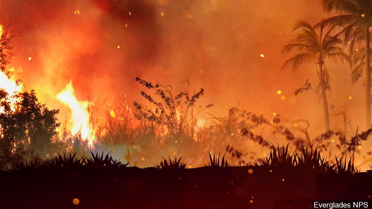
Spring 2022 prescribed fire on South Zone of the Salmon-Challis National Forest

CHALLIS, Idaho (KIFI) – The South Zone of the Salmon-Challis National Forest plan to conduct prescribed burning projects this spring on the Challis-Yankee Fork and Lost River Ranger Districts.
Prescribed fire activities may take place April through June.
Prescribed fire activity is highly weather dependent. As areas come into favorable prescribed fire weather conditions, specialists will either hand ignite and/or use a helicopter to ignite areas.
Although many areas listed below may be considered for ignitions, only the areas with ideal conditions for ignitions will be implemented.
This process relies on coordination with the National Weather Service and Air quality regulators to determine the best possible weather conditions that promote smoke dispersal and limit smoke impacts to local and regional communities.
Prescribed burn activities and operations will follow USDA and Forest Service guidelines regarding COVID-19.
Areas being considered for prescribed fire include:
- Grouse Peak (8 miles northeast of Challis, Idaho): Approximately 300-500 Acres. Prescribed burning is planned in the area east of the northern Grouse Peak Communication Site in the Lawson Creek Drainage. The purpose of this project is to improve forest stand, range, and wildlife habitat conditions by introducing fire back into a landscape that has missed historic fire return intervals. For more information go to https://www.fs.usda.gov/project/?project=48557.
- Crane Basin (15 miles southeast of Challis, Idaho): Approximately 200-400 acres. Prescribed burning is planned in the Crane Basin area. The purpose of this project is to improve forest stand conditions and wildlife habitat by introducing fire back into a landscape that has missed historic fire return intervals. For more information go to https://www.fs.usda.gov/project/?project=50979.
- Mosquito Flats (8 miles north and west of Challis, Idaho): Approximately 200 acres. Prescribed burning is planned in the Mosquito Flats reservoir area. The primary purpose of the proposed action is to reduce surface, ladder and canopy fuel loading, reduce timber stands stocking density, and restore aspen on the landscape, thereby reducing crown fire potential and the occurrence of high severity wildfire in the Mosquito Flat area and moving the forested vegetation toward more sustainable conditions. For more information go to https://www.fs.usda.gov/project/?project=39625.
- Bartlett Creek (41 miles southwest of Challis, Idaho and 30 miles west of Mackay, Idaho): Approximately 300-500 acres. Prescribed burning is planned in the North Fork of the Big Lost River, primarily in the Bartlett Creek Drainage. The purpose of the burn is to restore historic stand characteristics. Altering the stand conditions would significantly reduce the severity of an insect, disease, or wildfire disturbance. For more information go to https://www.fs.usda.gov/project/?project=53036.
- Sunset/South Lost (13 miles Northeast of Mackay, Idaho): Approximately 500-2000 Acres. Prescribed burning is planned in the Sunset area adjacent to the Pass Creek drainage. The purpose of this project is to improve forest stand conditions and wildlife habitat by introducing fire back into a landscape that has missed historic fire return intervals. For more information go to https://www.fs.usda.gov/project/?project=57139.
- Wino Basin (14 miles southeast of Challis Idaho): Prescribed burning is planned in the Wino Basin area. Approximately 500-1000 Acres. The purpose of this project is to improve forest stand health, range conditions and wildlife habitat by introducing fire back into a landscape that has missed historic fire return intervals. For more information go to https://www.fs.usda.gov/project/?project=55128.
During burn operations, it is expected that short periods of high smoke volume output will be visible to local communities. A mosaic pattern of burned and unburned areas will remain after treatment. All areas will be signed, and notifications will be made to local residents or interested parties prior to ignition. Please use caution in these listed areas during burning operations and observe any posted signs in the area.


