Longest highways in America

Canva
Longest highways in America
A Pan-American highway on a bright day.
President Dwight D. Eisenhower considered the U.S. Interstate Highway System one of his most important achievements in office, and Americans agree, having dubbed the highway network the “Greatest Public Works Project in History,” according to the Federal Highway Administration.
At a total of 46,876 miles long, the interstate network is estimated to have cost $128.9 billion to construct, with the federal government footing 90% of the bill. The coast-to-coast surface transportation network has succeeded in making road travel safer and more efficient. The Interstate Highway System is among the safest road systems in the country. More than one-quarter of all vehicle traffic occurs on the interstate, but its fatality rate per 100 million miles traveled is less than half that of all other roadways in the U.S., at 0.55 fatalities per 100 MMT. When the construction of the interstate began in 1956, that rate nationally was 6.05.
Today, not only is the Interstate Highway System essential to American travel, it is one of the nation’s most important and dependable means of transporting goods—including foods, sundries, and medical supplies—from state to state.
Stacker compiled a list of the longest interstates in the United States using 2021 data from the Federal Highway Administration. Read on to find out which parts of the nation are part of the lengthiest potential road trip highways and byways.
![]()
RaksyBH // Shutterstock
#25. I-49
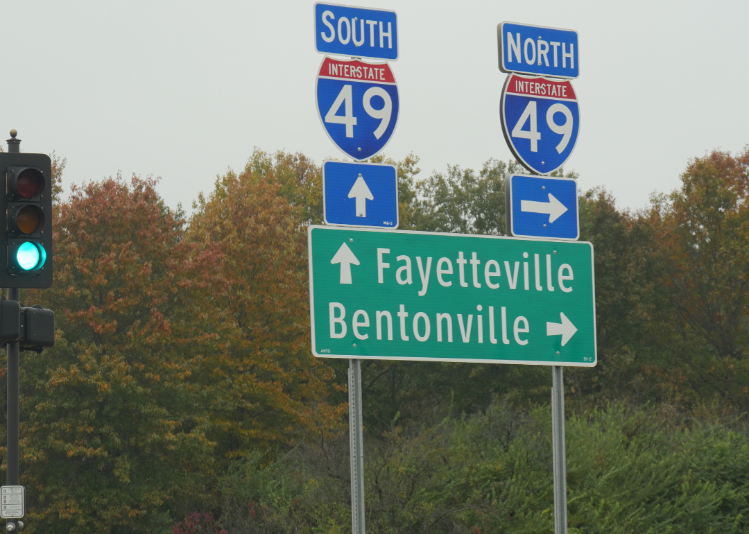
Roadside signs and directions to Fayetteville and Bentonville along Interstate 49 in Arkansas.
– Length: 547.5 miles
– State with most miles: Louisiana (239.3 miles)
I-49 runs through Louisiana, Arkansas, and Missouri, and passes through several major southern cities, including Kansas City, Shreveport, and Fayetteville. In 2017, a new 4.25-mile segment of the interstate was added in Louisiana, according to KSLA 12 News. In 2019, a bridge connecting I-49 with I-220 in Caddo Parish, Louisiana, received an ASBI Award of Excellence in Bridge Building.
LesPalenik // Shutterstock
#24. I-77
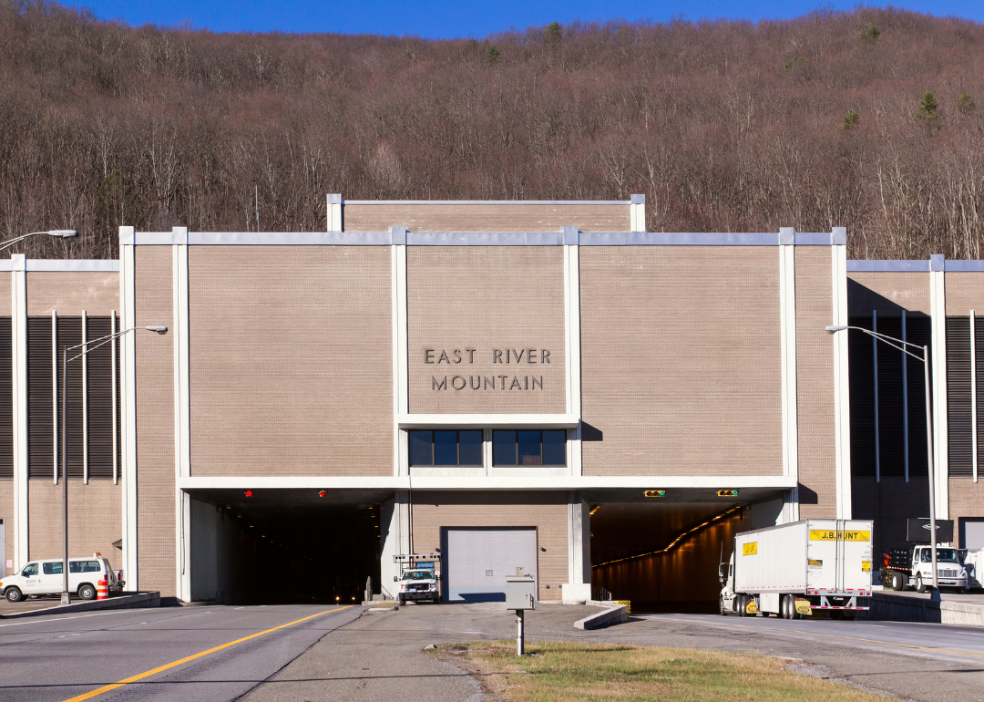
The East River Mountain Tunnel.
– Length: 610.1 miles
– State with most miles: West Virginia (187.2 miles)
Five states are home to I-77: North Carolina, South Carolina, Virginia, West Virginia, and Ohio. The interstate is home to the East River Mountain Tunnel, which connects Virginia and West Virginia, and is one of only two places in the U.S. where a mountain road tunnel crosses a state line.

OogImages // Shutterstock
#23. I-76
Tree foliage in peak fall colors lining the Pennsylvania turnpike on I-76.
– Length: 622.1 miles
– State with most miles: Pennsylvania (351.0 miles)
I-76 passes through Colorado, Nebraska, Ohio, Pennsylvania, and New Jersey, and is a gateway to both Denver and Philadelphia. It has been thought that the interstate was numbered to honor Philadelphia as the city where the Declaration of Independence was signed in 1776, but the Federal Highway Administration has debunked that theory.

Mystic Stock Photography // Shutterstock
#22. I-44
A truck passing under the Will Rogers Archway, a highway rest area spanning Interstate 44.
– Length: 636.7 miles
– State with most miles: Oklahoma (328.5 miles)
Texas, Oklahoma, and Missouri are all home to I-44, which runs through Oklahoma City and Springfield. Though even-numbered interstates run east to west, according to the Federal Highway Administration, I-44 runs southwest to northeast.

PICTOR PICTURES // Shutterstock
#21. I-85
Cloverleaf connecting Interstate I-85 and I-485 as seen from U.S. Airways Flight 2655 after takeoff from Charlotte-Douglas International Airport.
– Length: 666.1 miles
– State with most miles: North Carolina (231.2 miles)
I-85 traverses Alabama, Georgia, South Carolina, North Carolina, and Virginia, and passes through Montgomery, Atlanta, and Charlotte. When the highway was opened in 1964, it became South Carolina’s first interstate highway, the Federal Highway Administration has said.
Vinchenzo // Shutterstock
#20. I-29
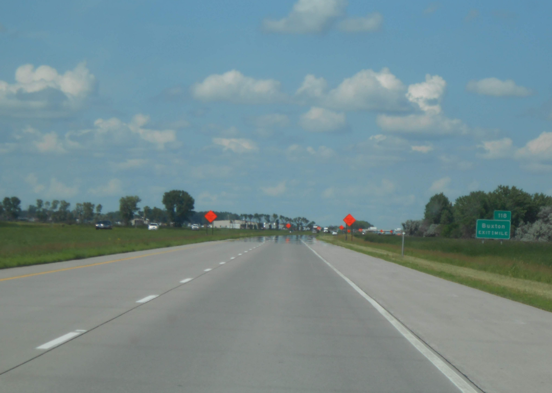
Interstate 29 in North Dakota.
– Length: 755.5 miles
– State with most miles: South Dakota (252.5 miles)
I-29 passes through Missouri, Iowa, North Dakota, and South Dakota, stopping in Fargo, Kansas City, and Sioux City, and racking up more than 750 miles. The interstate crosses into Canada at the Pembina-Emerson border crossing. This is the only border crossing open 24 hours a day in North Dakota, making it one of the most heavily trafficked crossing stations in North America.

Trong Nguyen // Shutterstock
#19. I-69
Interstate 69 leading into downtown Houston.
– Length: 757.7 miles
– State with most miles: Indiana (300.1 miles)
Six states—Indiana, Michigan, Kentucky, Mississippi, Tennessee, and Texas—rely on I-69, which runs through Indianapolis, Flint, Memphis, Houston, and Corpus Christi. The interstate is one of the country’s “Corridors of the Future” as designated by the Transportation Department, and was chosen based on its proposal to limit traffic congestion.

Khairil Azhar Junos // Shutterstock
#18. I-81
Interstate 81 and the welcome sign at the border into Pennsylvania.
– Length: 855.0 miles
– State with most miles: Virginia (324.9 miles)
Tennessee, Virginia, West Virginia, Maryland, Pennsylvania, and New York are all linked by I-81, which runs through several cities including Binghamton, Syracuse, Harrisburg, Scranton, and Hagerstown. Through the Infrastructure Investment and Jobs Act, a long-problematic viaduct on I-81 in New York State is set to be removed in a $1.1 billion project.

Sean Pavone // Shutterstock
#17. I-65
The skyline of Birmingham, Alabama, from above Interstate 65.
– Length: 887.3 miles
– State with most miles: Alabama (367.0 miles)
I-65 traverses Alabama, Kentucky, Tennessee, and Indiana, connecting cities such as Birmingham, Montgomery, Louisville, and Indianapolis. In 2017, a Kentucky woman gave birth to a healthy baby boy on I-65 North in the backseat of her car, WLTX 19 reported.

Malachi Jacobs // Shutterstock
#16. I-64
Interstate 64 in Western Virginia.
– Length: 963.5 miles
– State with most miles: Virginia (297.6 miles)
Missouri, Illinois, Indiana, Kentucky, West Virginia, and Virginia are all connected by I-64, which passes through St. Louis, Louisville, Charlottesville, Richmond, and Virginia Beach. In 2009, Missouri dedicated the section of I-64 that runs through St. Louis as Jack Buck Memorial Highway, in honor of the city’s famed Cardinals sportscaster, according to Major League Baseball.

Chad Robertson Media // Shutterstock
#15. I-55
An aerial view of Renaissance at Colony Park Shopping Center next to I-55 near Jackson, Mississippi.
– Length: 964.3 miles
– State with most miles: Illinois (313.1 miles)
I-55 links Louisiana, Mississippi, Tennessee, Arkansas, Missouri, and Illinois, and runs through Jackson, Memphis, Springfield, and Chicago. At most points, the interstate travels parallel to the Mississippi River. The route will also get you to two major airports—the St. Louis Lambert International Airport and the Springfield-Branson National Airport.

Wangkun Jia // Shutterstock
#14. I-84
Bulkeley Bridge crossing the Connecticut River on Interstate Highway 84 in downtown Hartford, Connecticut.
– Length: 1,001.0 miles
– State with most miles: Oregon (375.2 miles)
I-84 passes through Oregon, Idaho, Utah, Pennsylvania, New York, Connecticut, and Massachusetts, but they aren’t connected. This interstate has two stretches on each side of the country with stops in Portland, Boise, Scranton, and Hartford. Both Oregon and Idaho recognize the interstate as the Vietnam Veterans Memorial Highway, according to The Spokesman-Review.
Katherine Welles // Shutterstock
#13. I-25
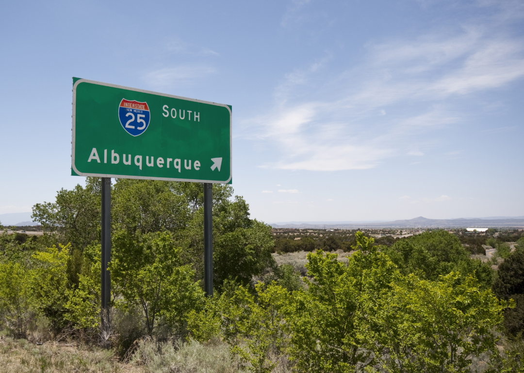
A road sign on I-25 pointing the way to Albuquerque, New Mexico.
– Length: 1,061.7 miles
– State with most miles: New Mexico (462.1 miles)
I-25 runs through just three states: New Mexico, Colorado, and Wyoming. The interstate provides access to Albuquerque, Colorado Springs, Denver, Casper, and Cheyenne. A section of the road in New Mexico closely follows the original path of historic U.S. Route 66, which followed the trail of the Santa Fe Railroad.

Ian Dewar Photography // Shutterstock
#12. I-5
The Seattle skyline with Interstate 5 in the foreground.
– Length: 1,381.3 miles
– State with most miles: California (796.5 miles)
I-5 traverses California, Oregon, and Washington, and runs parallel to the West Coast of the United States from Mexico to Canada. The construction of the interstate in the 1950s and 1960s helped to expand suburbia in Los Angeles and attracted major companies to California, including Disney, Lockheed Martin, Douglas, and Hughes.

Hernando Sorzano // Shutterstock
#11. I-15
A colorful western sunset at a freeway entrance to Interstate 15 in Death Valley, California.
– Length: 1,433.1 miles
– State with most miles: Utah (400.6 miles)
California, Nevada, Arizona, Utah, Idaho, and Montana are all connected throughout I-15, which links San Diego, Las Vegas, Salt Lake City, and Helena. A coalition was established in 2009 to help develop I-15 into a corridor capable of reducing congestion and adding multimodal transportation options. A master plan to that effect was released in 2017.
Roschetzky Photography // Shutterstock
#10. I-20
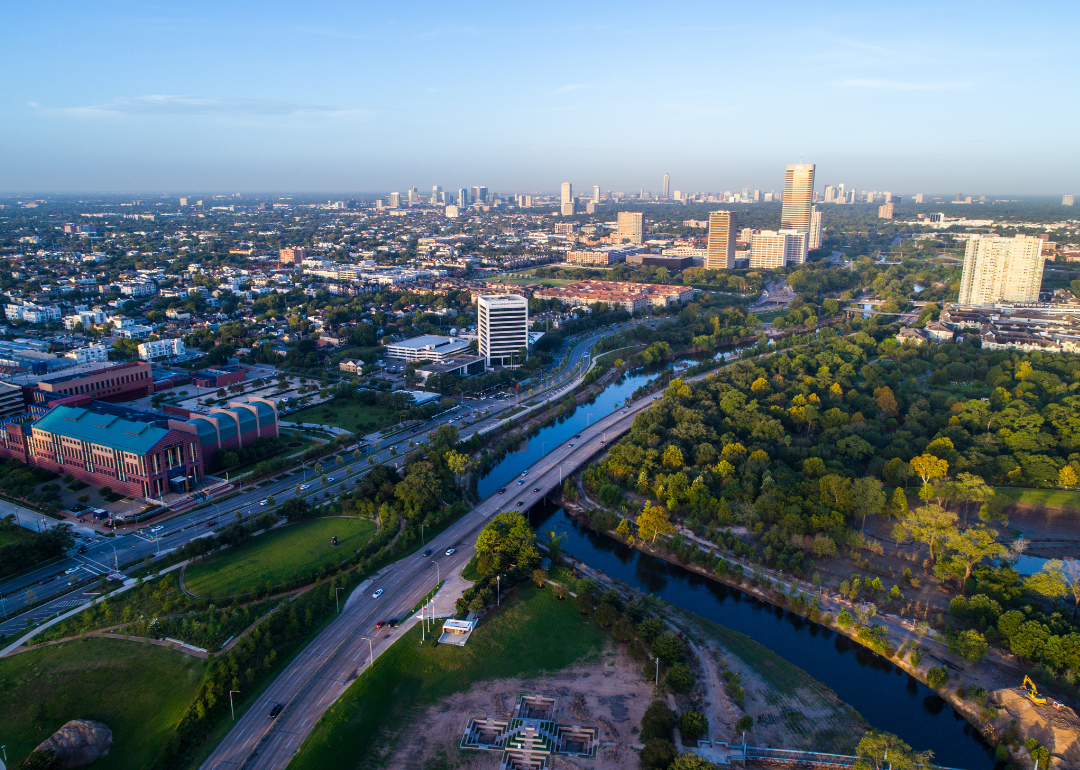
An aerial drone view of Houston looking down on the Buffalo River and Interstate 20.
– Length: 1,539.4 miles
– State with most miles: Texas (636.1 miles)
I-20 connects Texas, Louisiana, Mississippi, Alabama, Georgia, and South Carolina, stopping in cities including Dallas, Fort Worth, Jackson, Birmingham, Atlanta, and Columbia. Parts of the interstate in Texas have a speed limit of 80 miles per hour, making it one of the highest speed limits in the country.
Daniel J. Macy // Shutterstock
#9. I-94
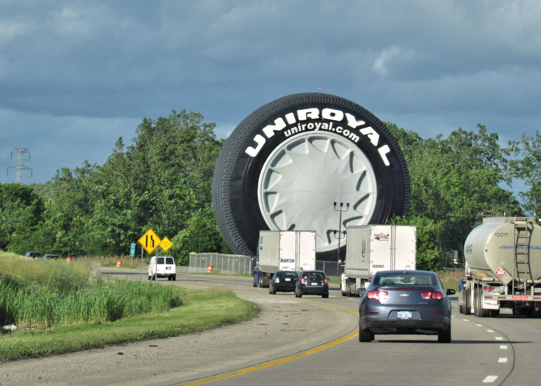
The giant Uniroyal tire greeting eastbound motorists on Interstate 94 outside Detroit.
– Length: 1,555.4 miles
– State with most miles: North Dakota (352.4 miles)
I-94 crosses Montana, North Dakota, Minnesota, Wisconsin, Illinois, Indiana, and Michigan. It links the cities of Bismarck, Minneapolis, Milwaukee, Chicago, and Ann Arbor. The interstate is the only east-west highway in the U.S. with a direct connection to Canada, linking from I-90 in Seattle to Toronto via Ontario Highway 401.
Roschetzky Photography // Shutterstock
#8. I-35
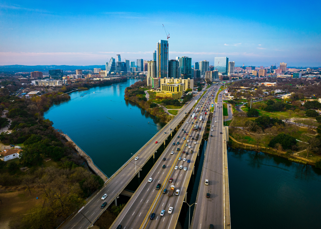
An aerial drone view of the Colorado River and Interstate 35 leading into Austin, Texas.
– Length: 1,568.4 miles
– State with most miles: Texas (504.2 miles)
Texas, Oklahoma, Kansas, Missouri, Iowa, and Minnesota are all linked by I-35, which passes through Austin, San Antonio, Oklahoma City, Kansas City, Des Moines, and Duluth. This interstate is the only one in the country that has two sets of two parallel branches: I-35E going through Dallas, while I-35W runs through Fort Worth, and a similar situation in the Minneapolis and St. Paul area, according to the Federal Highway Administration.
marchello74 // Shutterstock
#7. I-75
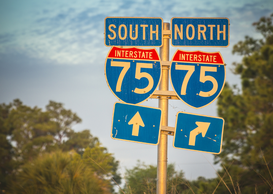
Directional signs along Interstate 75 in Florida at sunset.
– Length: 1,786.5 miles
– State with most miles: Florida (470.9 miles)
Florida, Georgia, Tennessee, Kentucky, Ohio, and Michigan are all home to I-75, which crosses Tampa, Atlanta, Knoxville, Cincinnati, Detroit, and Flint. One of the largest construction expansion projects ever performed on the interstate remains underway in Ohio with an expected completion in 2025.

Big Joe // Shutterstock
#6. I-95
Traffic on I-95 just outside of historic downtown Providence.
– Length: 1,923.8 miles
– State with most miles: Florida (382.2 miles)
I-95 crosses 16 states, including Florida, Georgia, North Carolina, South Carolina, Virginia, Washington D.C., Maryland, Delaware, Pennsylvania, New Jersey, Connecticut, New York, Rhode Island, Massachusetts, New Hampshire, and Maine, making it the interstate that touches the most states. It was also the priciest interstate to build, costing $8 billion, according to the Federal Highway Administration.
Charles Knowles // Shutterstock
#5. I-70
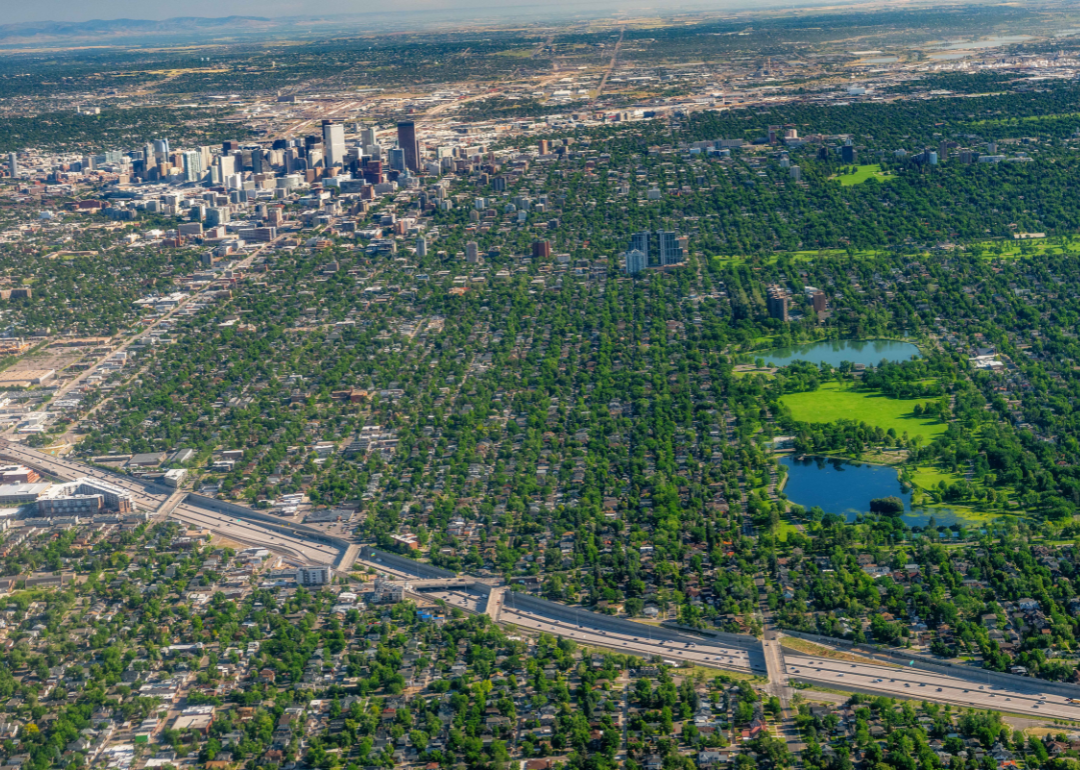
Interstate 70 passing by Denver, Colorado, as seen from above.
– Length: 2,171.7 miles
– State with most miles: Colorado (450.2 miles)
I-70 passes through Utah, Colorado, Kansas, Missouri, Illinois, Indiana, Ohio, West Virginia, Pennsylvania, and Maryland. The eastern terminus of the interstate is a parking lot near the Social Security Administration building in Baltimore, according to the Federal Highway Administration.
George Dodd III // Shutterstock
#4. I-10
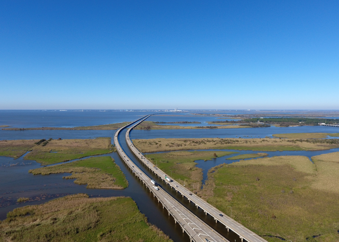
The Interstate 10 bridge over Mobile Bay, Alabama.
– Length: 2,460.3 miles
– State with most miles: Texas (881.0 miles)
I-10 runs through California, Arizona, New Mexico, Texas, Louisiana, Mississippi, Alabama, and Florida. This interstate stretches from Santa Monica, California, to Jacksonville, Florida, and helped to shape cities like Houston and Phoenix into fast-growing and car-dependent metropolises.
trekandshoot // Shutterstock
#3. I-40
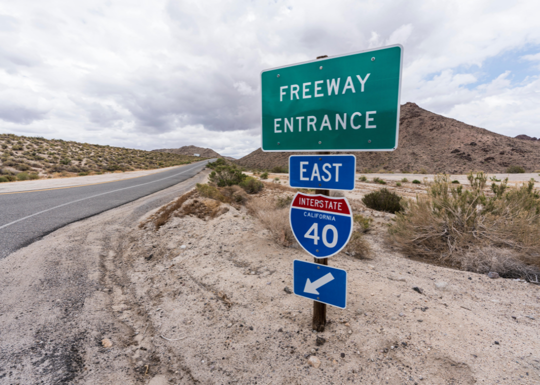
Interstate 40 east freeway on ramp sign near Mojave National Preserve in Southern California.
– Length: 2,556.6 miles
– State with most miles: Tennessee (455.3 miles)
California, New Mexico, Arizona, Texas, Oklahoma, Arkansas, Tennessee, and North Carolina are all home to I-40, which runs from Barstow, California, to Wilmington, North Carolina. Every fall and summer, the North Carolina Department of Transportation plants wildflowers including poppies, sunflowers, daisies, and coneflowers along the route within the state.
Dawid S Swierczek // Shutterstock
#2. I-80
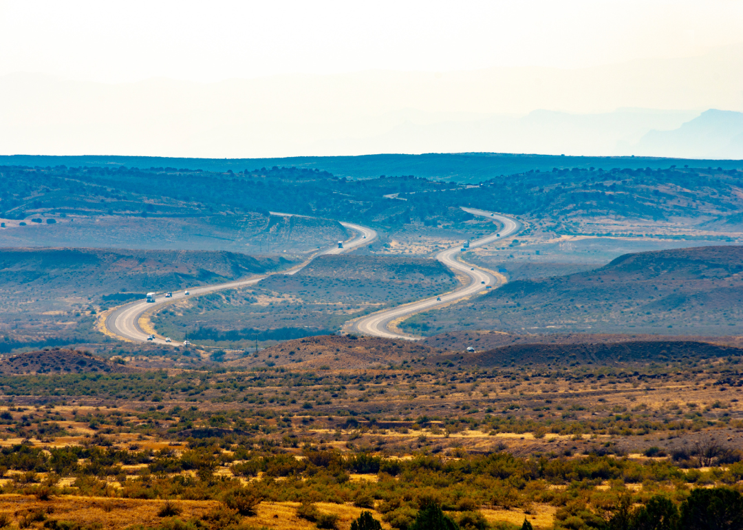
Interstate I-80 westbound as seen from Mack, Colorado.
– Length: 2,900.8 miles
– State with most miles: Nebraska (455.3 miles)
I-80 passes through California, Nevada, Utah, Wyoming, Nebraska, Iowa, Illinois, Indiana, Ohio, Pennsylvania, and New Jersey—a total of 11 states. This interstate is considered to be the “modern reincarnation” of the Lincoln Highway, which was known as America’s first transcontinental road, according to the Federal Highway Administration.

Dan Lewis // Shutterstock
#1. I-90
Looking west at the Interstate 90 floating bridge across Lake Washington in Seattle.
– Length: 3,021.2 miles
– State with most miles: Montana (552.5 miles)
As the longest interstate in the U.S., I-90 connects Washington, Idaho, Montana, Wyoming, South Dakota, Minnesota, Wisconsin, Illinois, Indiana, Ohio, Pennsylvania, New York, and Massachusetts. However, according to the Federal Highway Administration, it is not the nation’s longest road—that would be U.S. 20, a 3,365-mile road that extends from Boston to Newport, Oregon.
Data reporting by Emma Rubin. Story editing by Brian Budzynski. Copy editing by Robert Wickwire. Photo selection by Abigail Renaud.


