
Hot weekend temps with a few thundershowers
We’re seeing scattered thunderstorms late Friday, with rain showers. Temperatures will be fairly mild overnight, dropping to around 60° by Saturday…
Continue Reading We’re seeing scattered thunderstorms late Friday, with rain showers. Temperatures will be fairly mild overnight, dropping to around 60° by Saturday…
Continue Reading
Red flag warnings (high fire danger), have been posted for Friday, with the thunderstorms for the…
Continue Reading
We’re keeping slightly warmer than average temperatures in play for this week, along with the scattered thunderstorm threat. We still have high…
Continue Reading
Typical July weather with hot temps and afternoon…
Continue Reading
We’ll keep the hot weather rolling out of the south for Tuesday, with high temperatures well into the mid to upper 90’s. We’re starting to see…
Continue Reading
A few thunderstorms this afternoon and evening with even warmer temperatures expected this weekend. For Friday evening, we have a slight chance of…
Continue Reading
7/9/26: Temps are pushing towards 100° this weekend. The National Weather Service has issued a Heat Advisory and Extreme Heat Warning.…
Continue Reading
We’re seeing a few thunderstorms this evening, with some of the thunderstorms producing severe wind gusts and frequent lightning. Overnight, it…
Continue Reading
For Tuesday night, we have some isolated thunderstorms with a low temperature in the mid 50’s. Skies will clear by morning, with an overnight low…
Continue Reading
For Monday evening, we’re looking for some scattered showers and thunderstorms, mainly before 11pm. Cloudy, then gradually becoming partly cloudy,…
Continue Reading
We’re seeing a few thunderstorms for Friday afternoon and evening on the tail end of low pressure moving to the northeast. For Friday night, look…
Continue Reading
We’re seeing some thunderstorm activity for Thursday afternoon and evening. Most thunderstorms are favoring the SE Idaho mountains and western…
Continue Reading
Low pressure remains in place, with afternoon thunderstorms and gusty winds. For Wednesday night, there will be a chance of showers and…
Continue Reading
For Tuesday evening, we’ll see some thunderstorms with partly cloudy skies. Look for an overnight low temperature reaching the lower 40’s…
Continue Reading
A few showers still in the forecast for Monday night. We’re still seeing a few thunderstorms in the forecast for Tuesday and…
Continue Reading
A more active weather pattern will round out the rest of this week.…
Continue Reading

A weak push of stormy weather moves in late Friday night to kick off the weekend. We’ll look for some thunderstorms and scattered showers for…
Continue Reading
With high pressure moving to our south for Friday, we’ll look for warmer temperatures with highs near 90°. For Saturday We’ll replace our…
Continue Reading
A nice day Thursday, even with some afternoon winds. Hot for Friday with highs around…
Continue Reading
As a dry cold front moves through the region Tuesday afternoon and evening, we’ll continue to see gusty winds off and on through tonight and…
Continue Reading
As a front drives out of Montana for Tuesday, we’ll look for dry and windy conditions. High temperatures will rise to the upper 80’s and lower…
Continue Reading
A weak cold front out of Canada is driving in wind for late Friday and this weekend. We’ll also see a few isolated thunderstorms. Meanwhile, high…
Continue Reading
We’ll see a combination of high pressure to our west, with a weak storm system in Montana for Friday. We’ll warm to the 80’s for Friday, with…
Continue Reading
Across the region, we’ll see low temperatures bottom out to the upper 20’s to lower 30’s. This chill is all thanks to our latest area of low…
Continue Reading
We’re looking for rainy and windy weather to start rolling in late Monday night and lasting through our Tuesday. Thanks to low pressure moving…
Continue Reading
We’re still breezy this evening as a cold front pulls further to the east Sunday night. As we move into Monday, we’ll look for a quieter…
Continue Reading
As low pressure moves into the Pacific Northwest, we’ll see a few storm clouds late Saturday and early…
Continue Reading
Winds and mostly clear skies will continue for Thursday night and into Friday. Our next chance of rain arrives late Saturday.…
Continue Reading
Look for a few thunderstorms tonight and expect a windy day Thursday.…
Continue Reading
For Tuesday night, it’s fairly quiet with light winds and clear sky. Low temperatures will drop to the lower 40’s in the Snake River Plain.…
Continue Reading
We’re seeing a few isolated thunderstorms this evening, mainly for the higher elevations and the upper valley of the Snake River Plain. Warmer…
Continue Reading
We’re seeing some thunderstorms and showers for Friday evening and late tonight, as low pressure moves in from the south. For Friday night look for…
Continue Reading
A low-pressure system sits to our southwest, with hot and drier air currently being pushed in our direction. As the low-pressure moves closer towards…
Continue Reading
We have low pressure sitting to our south, sending moisture and warm air in our direction for Wednesday evening. The low pressure pulls a little…
Continue Reading
An area of low pressure is moving down the Pacific coast and moving inland to the Great Basin this week. We’ll see a few showers and thunderstorms…
Continue Reading
Low pressure and a front is approaching for late Monday through Tuesday. We’ll see spotty thunderstorms for late Monday, with more storm clouds…
Continue Reading
For Friday night, we’ll see clouds becoming mostly clear by morning. Low temperatures will drop to the upper 30’s for the Snake River Plain.…
Continue Reading
Low pressure to our northeast will keep thunderstorms in the forecast through Thursday night. As we move into the weekend, high pressure builds back…
Continue Reading
Low pressure passing by to our northeast, is helping to steer in some moisture. Overnight, look for low temperatures in the lower 40’s for the…
Continue Reading
Partly cloudy overnight with a low temperature reaching the lower to mid 30’s. Light winds around 5-10 mph. The National Weather Service has issued…
Continue Reading
Low pressure sits to our southeast this evening. We have a few isolated snow showers possible tonight in southeastern Idaho and western Wyoming.…
Continue Reading
We’re staying breezy for Friday night heading into Saturday, with a low-pressure system advancing out of the north. We’re seeing colder air and…
Continue Reading
We have a zonal flow with our jet stream, that keeps our weather pattern breezy with mainly sunny skies for Friday. For Thursday night, we’ll see…
Continue Reading
A strong afternoon and evening cold front is driving in severe thunderstorms with high wind gusts. All of eastern Idaho and western Wyoming is…
Continue Reading
A strong cold front is moving through the region this afternoon SEVERE THUNDERSTORM WATCH OUTLINE UPDATE FOR WS 200 NWS STORM PREDICTION CENTER…
Continue Reading
For Tuesday night, look for mild overnight low temperatures coming off a hot day. We’ll see a low around 50° for the Snake River Plain, with light…
Continue Reading
Highs around 90° before a strong cold front moves through late Wednesday.…
Continue Reading
High pressure is building in from the west coast this Friday. We still have a disturbance wrapping in from the north, bringing in winds and a few…
Continue Reading
We keep the northern air flow in the forecast tonight through Thursday. Along that path, we’re seeing a few isolated showers and thunderstorms…
Continue Reading
We have a cooler northerly flow with our weather later for tonight and Wednesday. This cool and breezy pattern will usher in some freezing overnight…
Continue Reading
For Monday night, we’re seeing a few thunderstorms with mostly cloudy skies. Low temperatures will drop to the lower 40’s for the Snake River…
Continue Reading
We have some really nice conditions in the forecast for Saturday and Sunday. High pressure overhead has kept things stable in the atmosphere, leading…
Continue Reading
We’re seeing high pressure build in throughout the Pacific Northwest. This will lead to stable environment, with warmer temperatures and sunshine.…
Continue Reading
For Wednesday night, look for partly cloudy skies and some isolated showers and thunderstorms, clearing after sunset. FREEZE WARNING IN EFFECT FROM 3…
Continue Reading
We’re looking for some isolated snow and rain showers for late Tuesday, with some freezing overnight temperatures settling in. Partly cloudy…
Continue Reading
A deep area of low pressure remains in place over the next couple of days. We’ll see freezing overnight temperatures. The National Weather Service…
Continue Reading
The National Weather Service has issued another Freeze Warning: FREEZE WARNING IN EFFECT FROM 9 PM THIS EVENING TO 10 AM SATURDAY:…
Continue Reading
A Freeze Warning has been posted…
Continue Reading
More wind, scattered rain and…
Continue Reading
A bit of a breeze for late Monday night, with partly cloudy skies. We’ll see a low temperature in the lower 40’s for the Snake River Plain. Winds…
Continue Reading
In the wake of our latest storm, we’ll continue to see chilly temperatures and clearing skies heading into the weekend. The National Weather…
Continue Reading
For Thursday night, there is a chance of snow showers, mainly before 9pm. Mostly cloudy skies, with a low temperature in the Snake River Plain around…
Continue Reading
A cold front for Wednesday night is driving in this latest storm. We’ll look for rain showers and some snow late Wednesday night. A few…
Continue Reading
A potent cold front is approaching Wednesday. This will drive in gusty winds, snow, and rain showers. Along with thunderstorms, we’ll look for…
Continue Reading
Patchy fog for Tuesday morning and a breezy afternoon before a potent cold front arrives Wednesday afternoon. We expect winter-like conditions with…
Continue Reading
4/10/26: We’re already seeing thunderstorms ahead of low pressure arriving this weekend.…
Continue Reading
We’re seeing a warming bump, ahead of our next storm arriving Saturday afternoon. There will be a few isolated thunderstorms and showers through…
Continue Reading
A bit of a breeze for Wednesday evening with some passing clouds. Overnight lows will hang around 40°. Mostly sunny for Thursday with a few isolated…
Continue Reading
For Tuesday night, we’ll see patchy blowing dust before 9pm. Thanks to our latest cold front, colder temperatures overnight with a low in the mid…
Continue Reading
Clear and quiet for Monday night, before a cold front moves through the region Tuesday. Overnight lows will drop to the upper 30’s for early…
Continue Reading
High pressure is slowly building in from the west for Friday night and this weekend. This is leading to a warming trend with clearing skies.…
Continue Reading
4/2/26: We’ll keep it windy tonight with isolated snow showers. We’ll start to clear out by Friday afternoon, leading to a nice weekend.…
Continue Reading
A wind advisory has been posted for Thursday. We’ll also see scattered rain and snow with a possible thunderstorm.…
Continue Reading
Two areas of low pressure are moving through the region. With a cold core of low-pressure arriving…
Continue Reading
A couple areas of low pressure with added moisture is moving in for the rest of this workweek. For Monday night and early Tuesday morning, we’ll…
Continue Reading
Mostly clear skies for Friday night as a cold front approaches for Saturday. We’ll see increasing winds for Saturday with slightly cooler…
Continue Reading
For tonight, mostly clear skies with a low temperature in the mid to lower 30’s. We’ll see winds around 10-15 mph with gusts around 25 mph. Sunny…
Continue Reading
Clear skies for Wednesday night with winds from the southwest around 10-15 mph. Wind gusts as high as 25 mph. Throughout the Snake River Plain…
Continue Reading
Partly to mostly cloudy overnight, with clear skies by the morning. We’ll see low temperatures around 40° for the Snake River Plain. Winds will be…
Continue Reading
A disturbance to our north is keeping some cloud cover in place through tonight with a few isolated rain and snow showers. We’ll keep a slight…
Continue Reading
For Friday night we’ll see cloudy skies with gusty winds. Look for a low temperature in the lower 40’s for the Snake River Plain. Winds from the…
Continue Reading
Patchy blowing dust for Friday night, under mostly cloudy skies. A few isolated rain and snow showers are possible in our local mountains. Low…
Continue Reading
A stationary front will move through the region for Thursday. This will create a very windy environment for eastern and southern Idaho, along with…
Continue Reading
Mostly cloudy for tonight with a slight chance at snow. Staying breezy with winds from the west around 10-20 mph.…
Continue Reading
Another Wind Advisory posted for Tuesday with some isolated mountain snow…
Continue Reading
We’ll see mainly dry weather this weekend with areas of overnight and early morning fog. There is some cloud cover spilling over from the north and…
Continue Reading
A few snow showers later tonight and into Friday morning…
Continue Reading
AMMON, Idaho (KIFI) – Walmart employees and customers were evacuated Wednesday night following a possible bomb threat to the store. Reports of…
Continue Reading
A cold front tonight drives in stormy weather. We’ll see rain and snow showers starting Wednesday night and early Thursday morning. Overnight low…
Continue Reading
Winds will start to increase, along with the threat of rain and snow for late Wednesday. Another storm system is moving into the region. Temperatures…
Continue Reading
Rain and snow showers will taper off tonight as the storm moves east into Wyoming. We’re going to clear out for Tuesday and early Wednesday, before…
Continue Reading
Lighter winds and mild temperatures are in the forecast for Saturday before a area of low pressure moves through Sunday. Overnight into Saturday…
Continue Reading
We’re keeping a dry and breezy weather pattern in place for Friday. Our next chance at wet weather arrives Sunday. For the overnight hours, look…
Continue Reading
Behind our latest storm system, we’ll keep it breezy as we dry out with some clearing skies. We’ll see a few overnight snow and rain showers for…
Continue Reading
Our storm pattern continues into Wednesday with gusty winds and areas of rain. We’ll keep snow in the higher elevations, due to our warmer…
Continue Reading
We’re looking for scattered rain and snow for…
Continue Reading
Isolated snow showers will continue for late Friday and portions of early Saturday, especially in our local mountains. Overnight lows will drop to…
Continue Reading
We have some chilly conditions in the forecast behind our latest storm system. We’ll just have a few isolated snow showers for Thursday night and…
Continue Reading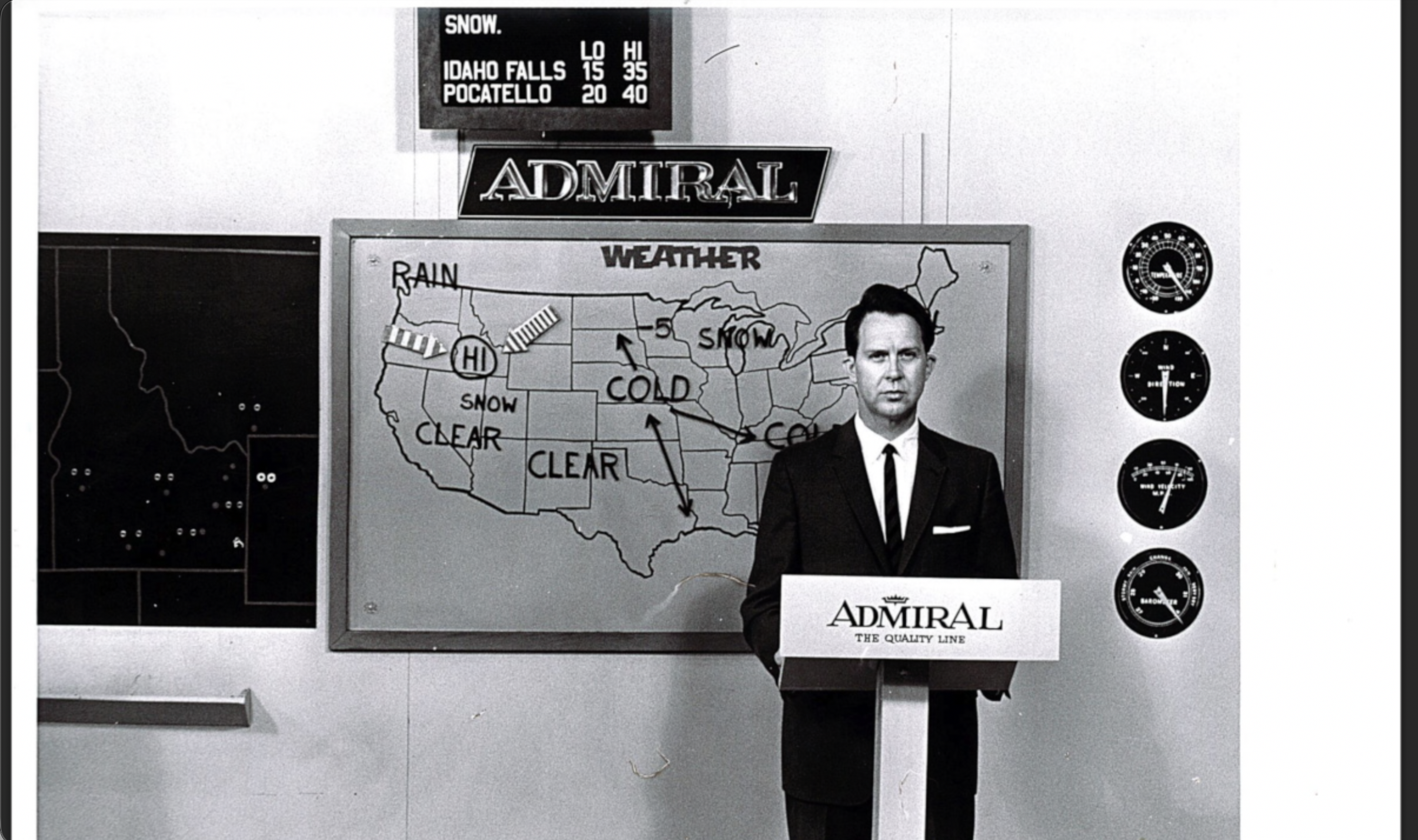
Since the very start of KIFI’s 65 years of broadcasting, weather reports and forecasts have been a fixture of our live broadcasts.
From a simple…
Continue Reading